A distinction is made between layered or stratiform clouds and ball or cumuliform clouds.
On the altitude side, the names of the highest clouds are composed with the prefix “cirro”, those of medium altitude with the prefix “alto":
- in the lower stage (from the ground to 2 km altitude), we encounter stratus (S) and stratocumulus (Sc).
- in the middle stage (from 2 to 5 or even 7 km of altitude), the altocumulus (Ac) and the altostratus (As).
- in the upper level (more than 5 km of altitude), we find the cirrus (Ci), the cirrocumulus (Cc) and the cirrostratus (Cs), composed of ice crystals.
- The nimbostratus (Ns), the cumulus (Cu) and the cumulonimbus (Cn) have an important vertical development and occupy several “stages”.
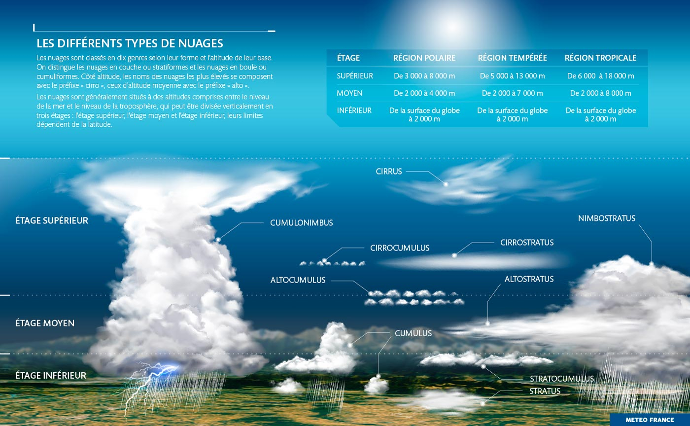
Clouds are classified into ten genera according to their shape and the altitude of their base.
The different cloud genera themselves encompass several subcategories that further clarify this classification.
Stratocumulus (Sc) #
Statocumulus clouds can be black Statocumulus clouds may show blue sky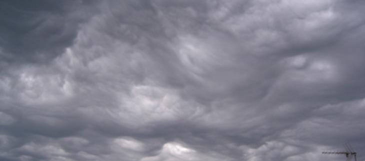
Stratus (S) #

The stratus cloud is a low cloud that can completely hide the sky
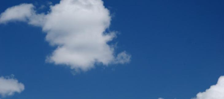
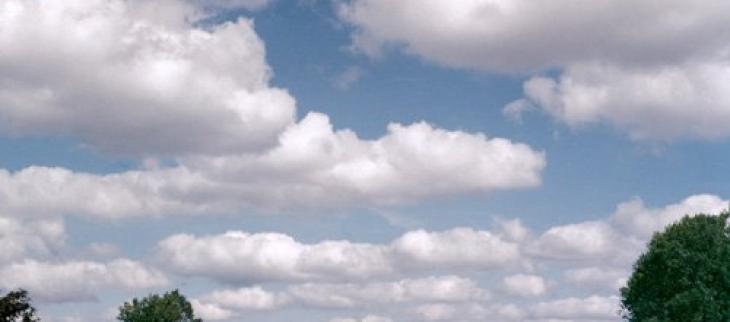
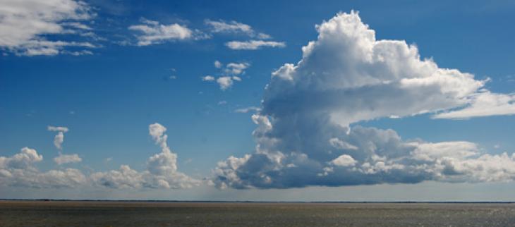
Cumulus (Cu) #
Cumulus can extend from the lower to middle levels The Cumulus humilis is known as fair weather cumulus Cumulus mediocris can turn into cumulus congestus The cumulus congestus is a convective cloud that develops when the air is humid and unstable, it can give a cumulonimbus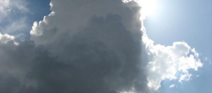
Cumulonimbus (Cn) #
At the end of its evolution, the upper part of the cumulonimbus looks like an anvil The cumulonimbus can give thunderstorms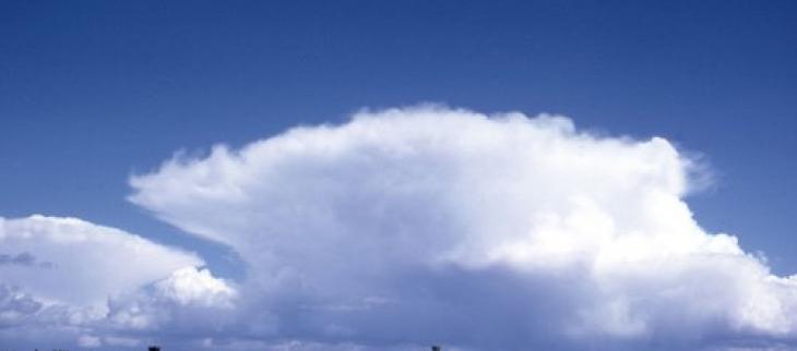
Cirrocumulus (Cc) #
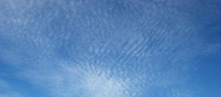
The cirrocumulus is shaped like a cotton flower
Altostratus (Ace) #
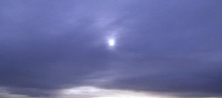
The altostratus forms a vast grey layer slightly striated, which lets the sunlight diffuse without apparent shadow on the ground, as through a frosted glass
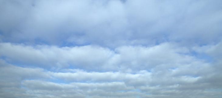
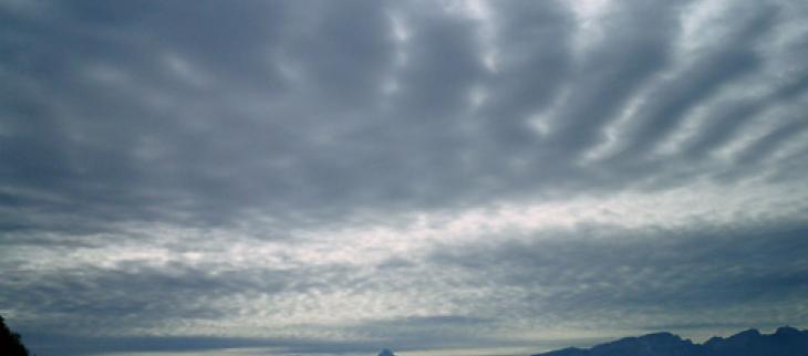
Altocumulus (Ac) #
Altocumulus consists of layers or sheets of white or gray clouds, and can indicate an approaching front and a change in weather The classic altocumulus banks often thicken to become a nimbostratus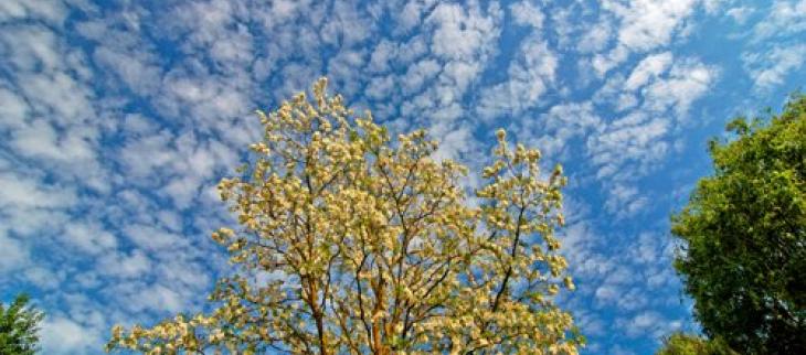
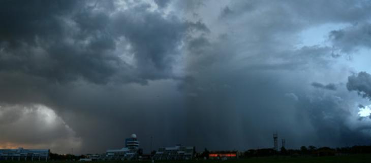
Nimbostratus (Ns) #
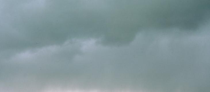
Nimbostratus are associated with continuous rain, snow or hail
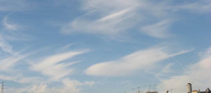
Cirrus (Ci) #
A cirrus cloud has the shape of a set of white and delicate filaments or of banks and narrow bands Cirrus clouds can have blurred contours